Day 1
After my arrival in France, I soon realized that my backpack (North Face Skareb 55) was too heavy and also that I had more stuff than it would hold. Consequently, I decided to ship some clothes and my shoes home. I did so from the Post Office (Bureau La Poste) in Dijon on Monday morning, May 18
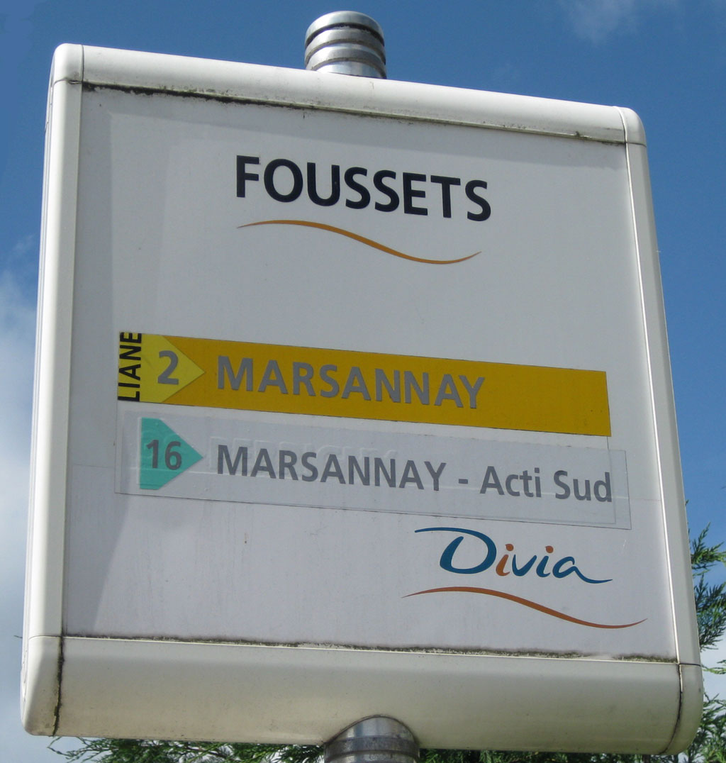
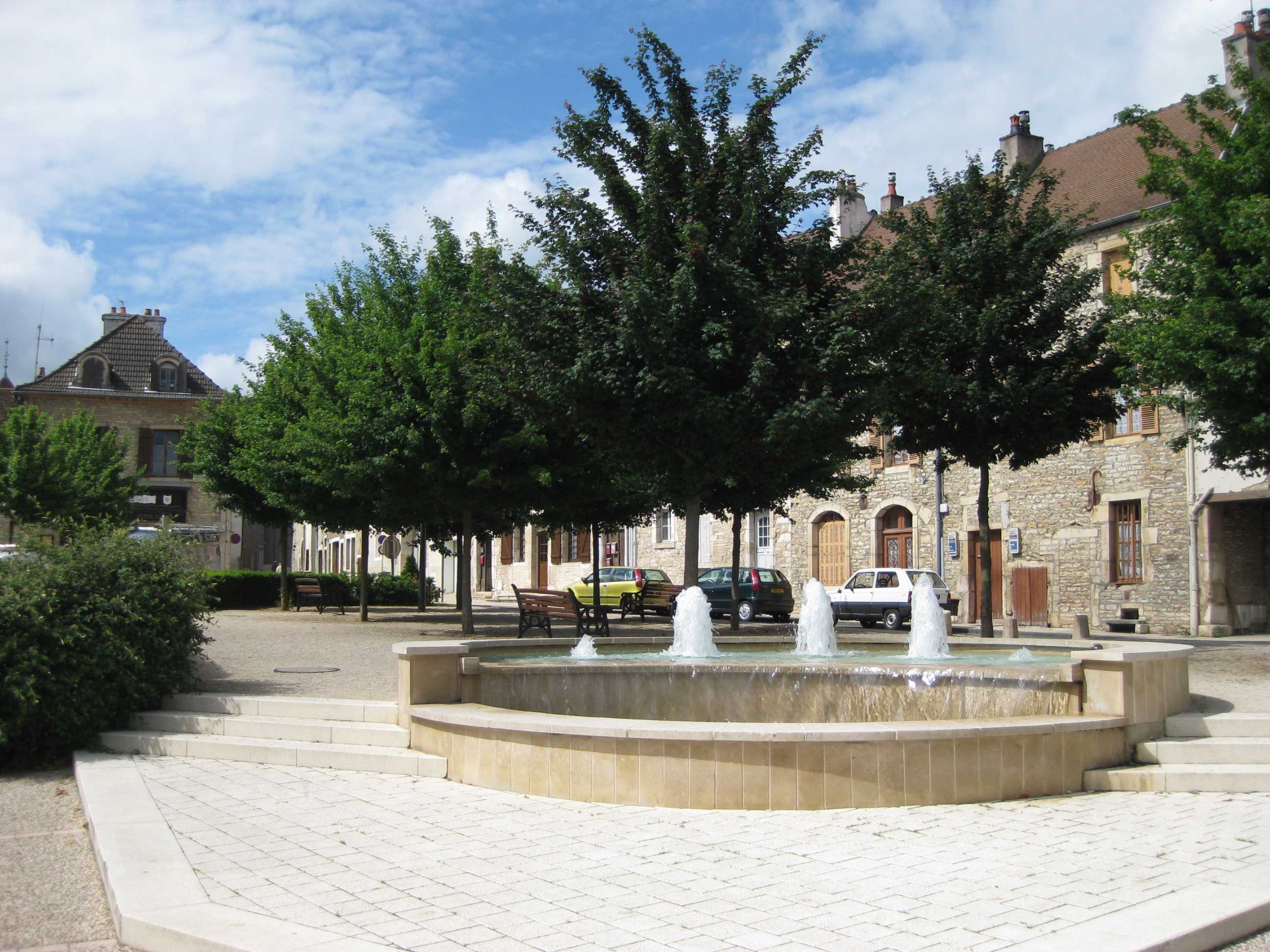
I purchased a cardboard box at the Post Office (located at 15 Boulevard de Brosses), paid the postage (~$56) for 8 lbs, and shipped my excess stuff home. Then I returned to the hotel, picked up my backpack and returned to train station at 9:50. From there, I walked south-southeast to the bus stop at the Hospital General. There I caught the Yellow Line (#2) south to the suburb of Chenove. The trip only took about 15 minutes. Unfortunately, I didn't get off the bus until after the Foussets stop, so all toll it took me about an hour to reach beginning of the trail. It would have been better if I would have gotten off Line #2 (Ligne #2) at rue de Longvic, but I didn't. Nevertheless, I navigated (wandered?) northwest over to little, tree-lined square called Place Anne La Prevote (Lat: 47.293728N, Long: 5.001469E).
Since then I have been able to study the Dijon bus routes and found that Line #4 (Ligne #4) would have worked too. In fact, I could have ridden the bus from near Place Darcy and to the Druet bus stop located just north of the Place Anne La Prevote. The bus schedule indicates it is an 18-minute trip.
This little square (place) is near where the centuries (established in 1238) old "Les Pressiors des Ducs de Bourgogne"is located. That is, this was the destination of the grapes brought in for processing into wine for the Dukes of Burgundy. Consequently, the hiking trailhead (Chemin de Grand Crus) is here.
Okay, now finally on to the trail. I didn't get started until 11:10 this morning. Shown below is a map of the trail south to the village of Givrey-Chambertin.
For a larger view of the route followed in Day 1 click here.
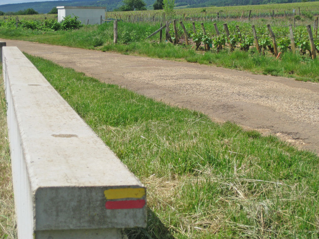
The trail is marked by colored stripes painted on rocks, posts, trees, and man-made objects. The photo below indicates to continue straight ahead. Fortunately, I have partly cloudy weather with high temperature of 17-20 ºC. I took my first break in Couchey after walking for 2hr30 (5/18/09, 1:45 p.m.) . Couchey is located about 3.8 miles south of Chenove. Now with everything fitting into my backpack it weighs about 30 lbs, I am moving well.
Voila, just arrived in the village of Gevrey-Chambertin. My handheld GPS indicates I have covered about 8 miles on the trail today. Now I need to jog over another mile or so to where I have hotel reservations: the Hotel Arts &Terroirs.
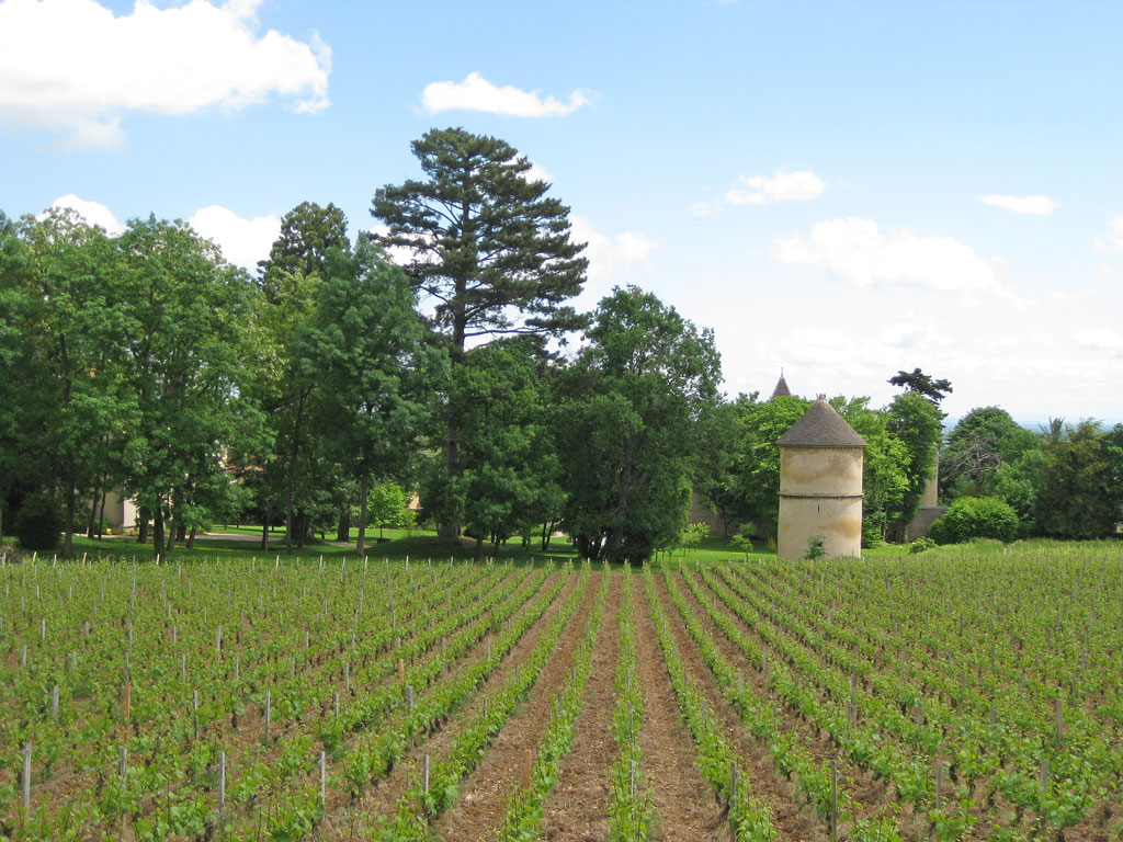
Checked in about 16h15 (4:15 pm) and gulped two bottles of beer at the bar. Whew, I needed that! Walked about 5 hours today averaging a moving speed of about 2.5 miles per hour (mph) after a late start. One thing is for sure ... this is definitely wine country - the vineyards are everywhere.
At the hotel desk, I learned that only place open for dinner tonight is a place called Chez Guy. I'll have to walk over there (maybe a mile away) after soaking in a bathtub of hot water (38ºC). Good thing I didn't have lunch, because I'm going to drop 50 euro. I'm told the weather forecast calls for 28ºC degrees high on Wednesday, so I will need extra water that day.
Wow, what a meal! I had the prime rib cooked in wine at Chez Guy. It came in a boiling hot wine sauce and served with potatoes and carrots. Oh, and I enjoyed two glasses of wine plus a great dessert. It took 2 hours for the whole meal - typically French. After which, at sunset I stumbled/wobbled back to the hotel. Bedtime for moi!
Jump to Next Day